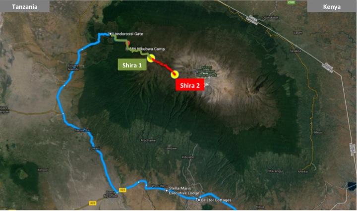
Shira 1 (3,500m/11,500ft) to Shira 2 camp (3,800m/12,500ft)
Distance: 7km/4mi, 3-4 hours (plus 2h afternoon optional “bonus” hike)
Altitude: 300m/1,000ft up in elevation (plus 200m/660ft “bonus” hike)
Day 3 of the Northern Circuit route is the last day along the Lemosho route. This is a very easy day crossing the almost flat Shira plateau, which takes about three hours (breaks included). Across the Shira plateau, there’s not much to see other than Kibo cone constantly in the backdrop. Only a lonely massive rock in the middle of the Shira plateau provides a welcome distraction – reminder of the volcano’s once mighty forces.
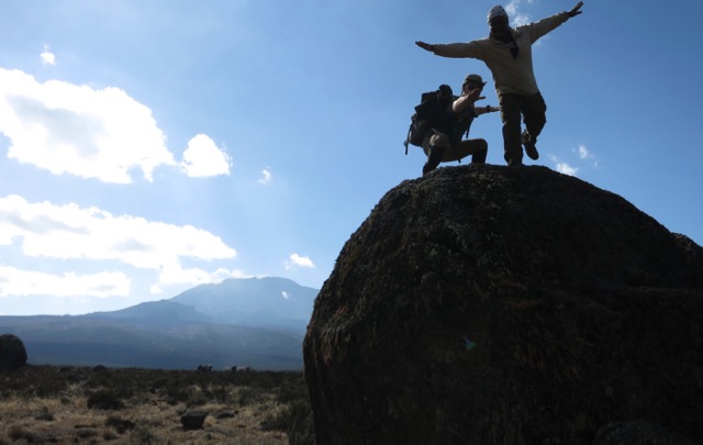
Big rock in the middle of the Shira plateau
At the eastern end of the Shira plateau, a few giant groundsel trees (part of the Dendrosenecio genus) are quite a curiosity. Only found in the alpine zones of mountains in equatorial East Africa, most hikers will probably have never seen them before.
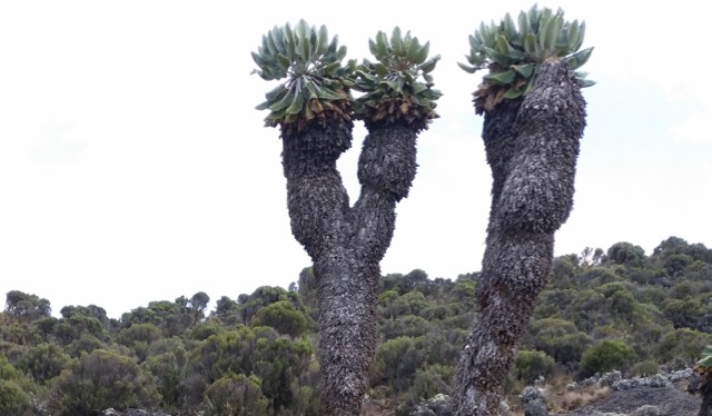
Giant groundsel (Dendrosenecio) towards the end of the Shira plateau
After crossing the Shira plateau, the hike ends with a rather steep 30 minutes’ ascent up to the Shira 2 camp. However, compared to the previous day’s hike up to the Shira plateau, this short ascent is barely worth mentioning. Arriving at the camp around noon, you will have a lot of recovery time on your third day.
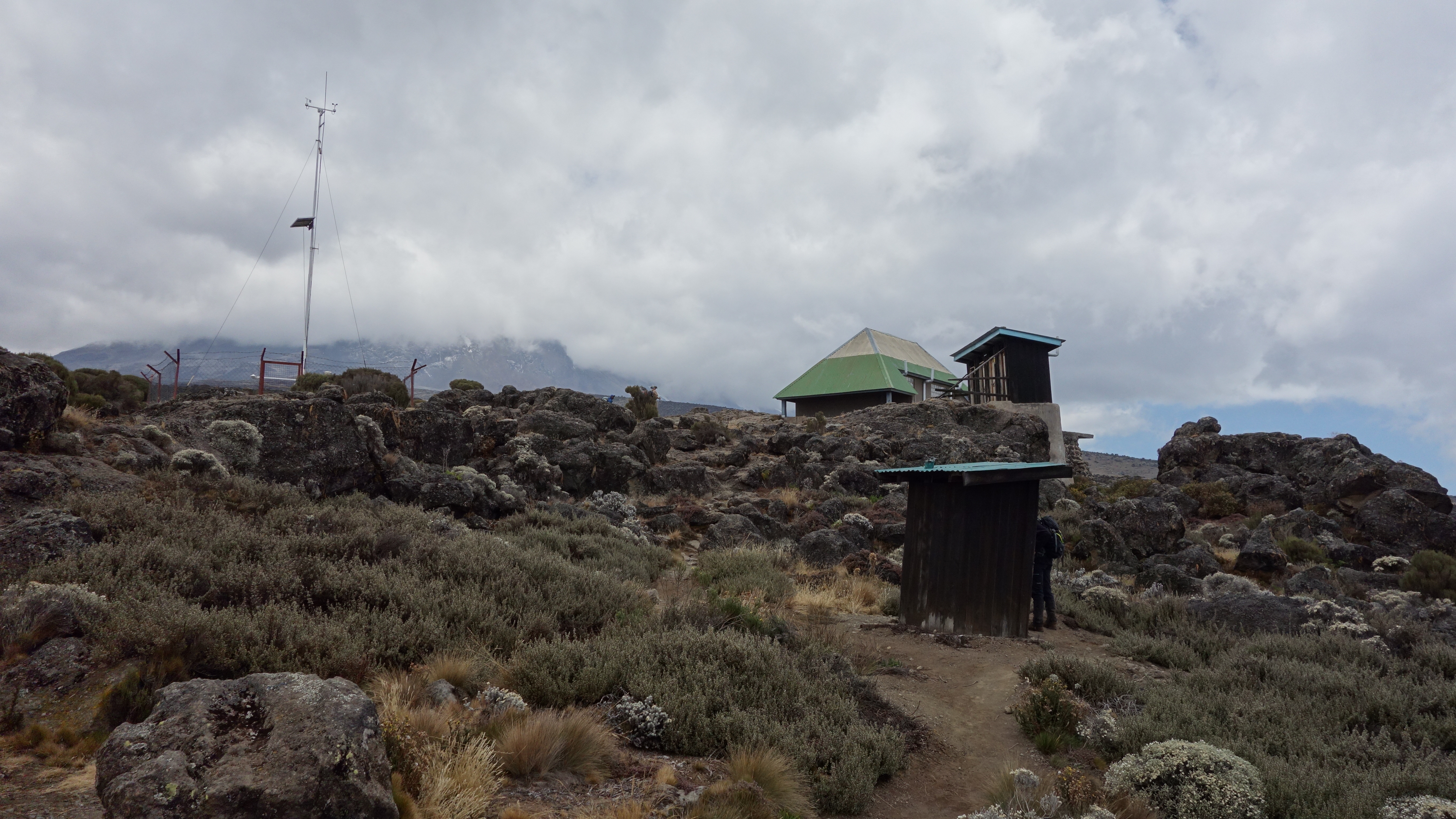
Arriving at the Shira 2 camp – photo by Lynn Jackson
As the Shira 2 camp will be the highest point you have reached so far on Kilimanjaro, a so-called acclimatization hike would be recommendable in the afternoon. This to ensure that you sleep at a lower altitude than where you hiked during the day – one of the gold rules of high-altitude acclimatization.
Photo gallery


Leave a Reply
You must be logged in to post a comment.